Construction
Rockma helps you unlock the full potential of your construction projects
Rockma helps you unlock the full potential of your construction projects through advanced 3D machine guidance and intelligent data management. With the Rockma 3D navigation platform, your machines operate with centimeter-level accuracy, giving operators maximum precision, efficiency, and control in every stage of the project.
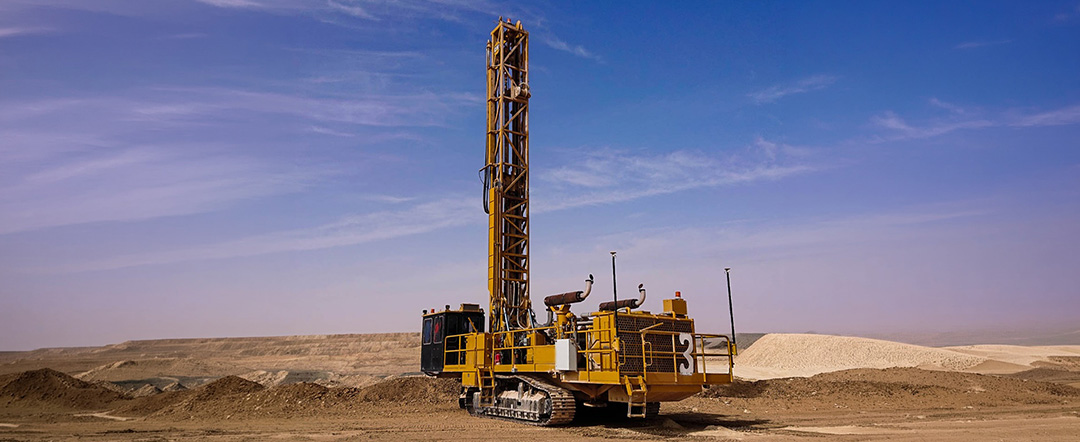
Whether you are working with drill rigs, piling machines, or highly specialized equipment requiring custom adaptations, Rockma delivers flexible solutions tailored to your operation. Our technology is designed to improve productivity, reduce costly errors, and streamline workflows both in the field and at the office.
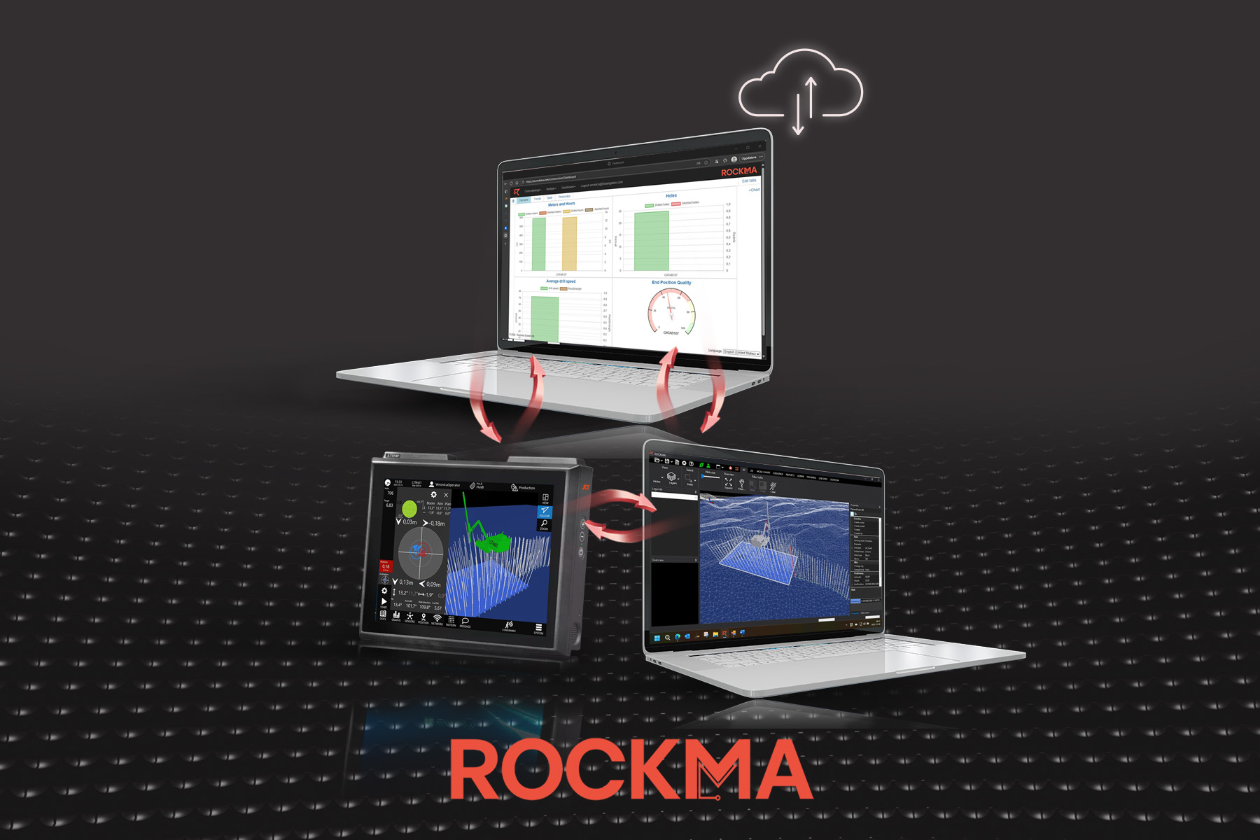
From initial setup and implementation to ongoing support and optimization, we are with you every step of the way. Seamlessly synchronize and manage your data through the cloud, or integrate Rockma directly into your existing platforms and workflows for a smooth and connected experience.
Rockma Office
• All applications built on same platform
• Seamless integration of data in real time between machines, office & web
• Create projects (choose geoid and projection)
• Time codes (Production, maintenance, delays, etc)
• Import/export Iredes planned & drilled holes
• Import design files (LandXML, dwg, dxf, obj)
• Add/edit/remove planned holes
Machine control systems
• Rockma Drill, Excavator and Survey
• For Windows PCs with any display size
• Online/offline/semi-offline capabilities
Rockma Drill
• Complete drill monitoring (MWD)
• Option for Rockmas unique interpretation of rock properties from sensor data
• Planned drilling (unlimited nr of holes/drillplans)
• Unplanned drilling (by length, elevation and/or surface)
• Interfacing Epiroc, Sandvik, Stonepower, Agder, Montabert, etc
Auto logging, start/stop and align or
complete package of sensors
Auto logging, start/stop
2D view
• Showing nearby (and distance to) machines in real time.
• Showing drilled holes width length quality.
• Showing distance to nearest planned holes
…. and much more
Office applications
- Rockma Office -
• Complete fleet management
• 2D and 3D view for machines, plans and holes with rock properties
• Feature rich plan designer for drilling and excavating
• Rules for sensor data validation
• Drill quality evaluation
• Group and individual machine messaging
Rockma Web portal
• Charts and graphs
• Reports
• Design files handling
3D view showing machine, planned holes, drilled holes (with length quality) and topographies
Aiming view
• Guiding operator to correct start position and angle
• Showing offsets and angles from planned & drill hole
Pattern designer
• Graphical feedback from each design step
• Options for staggered/rows/cols/subdrill/size/offset, etc
• Usage of design files (lines, surfaces)
and much more
Messaging
• Messaging with Rockma Office users
Gauges & graphs
• Graphs for all available sensors while drilling
• Gauges in real time
• Strata view for rock properties while drilling
Rockma Excavator & Rockma Survey
• 2D and 3D view
• Collecting log points
• Messaging with Rockma Office users
• 2D and 3D view
• Collecting log points
• Messaging with Rockma Office users